Kinlochleven to Fort William.
Start. Kinlochleven.
Route. - Kinlochleven -Tigh-na-sleubhaich - Lairigmor - Blar a' Chaorainn - Nevis Forest - Glen Nevis - Nevis Bridge - Fort William.
Notes. The concluding day and spirits were high, the sun was shining, there was miles in the old feet and legs yet, baring broken bones finishing was inevitable. The final day started with a 900ft climb to escape Kinlochleven, the guide books called this the sting in the tail, I beg to differ, that came later.
We left the village following the B863 along the north side of the Loch Leven, a short stroll took us to a finger-post inviting us to Fort William by the Lairig. We obliged immediately starting the ascent, steep in places then winding to ease the gradient, clearings in the birch forest gave tantalizing glimpses of the fjord like Loch Leven, and the unmistakable Pap of Glencoe. Upwards we climbed then suddenly without warning, and totally unexpected we reached the mouth of Lairigmor the Great Pass, and it truly is.
The next six miles made us feel small, two tiny insignificant travellers passing through a landscape of vast mountains, dwarfs in the land of giants. With The Mamores rising sheer to our right and the slightly lower Mam na Gualainn and Beinn Caillich to the left this was a special place to be. We passed two ruined farmsteads before the path swung right rounding the shoulder of Meall a' Chaorainn to enter the remains of a pine plantation, through the remaining trees glimpses of Lochan Lunn Da-Bhra (Lundavra) to our left, home to a mythical bull. The military road that had carried us faithfully from Kinlochleven terminated here at a narrow tarmac lane and interpretation board. The narrow path that replaced the road guided us through the remains of felled trees onto open moors, crossing the top of a low ridge to gift us with views of Ben Nevis across Glen Nevis, views short lived, we soon descended into the Nevis Forest. The long descent was dark and cool, a deep carpet of pine needles made the going easy under foot, around the 500ft contour we stepped onto forest roads to start the final but uncomfortable (hard on the feet) descent to the glen floor.
Earlier I mentioned the sting in the tail, well here we have it. Just over a mile of tarmac walking followed to the finish at Nevis Bridge, as we exited Glen Nevis our accommodation lay just across the road, a stones throw away, we stood thirsty, tired and aching, longing for a hot bath, the sign that caught our attention announced we'd reached, “The Original End to the West Highland Way”, they'd moved the bloody finish, another mile of demoralizing walking followed, through the streets of Fort William we trudged tired and exausted before two seats and a sculpture of a weary old traveller welcomed us to the official finish, those ruddy seats came in handy.
Ninety six miles of stunning scenery behind us, a camera full of hopefully half decent photographs and a head full of memories to last a lifetime, the sights we'd seen the places we've been, the characters we've met, and there were lots of them. Aching feet, sore legs, sunburn, yes sunburn, and now a taxi to carry us to the Distillery Guest House a mile back up the trail....... Go on give it a go, you know you want to.
Sue strides out, destination Fort William, but first this inconspicuous finger-post marks the start of a 900ft ascent.
From a clearing in the forest views back to Kinlochleven.
The unmistakable Pap of Glencoe at 2434ft guards the entrance to Glen Coe and Loch Leven.
Views over Loch Leven to the Pap of Glencoe.
Kinlochleven a once industrial village in a delectable setting, it's hard to imagine but until prisoners of war built the road in 1914, this Highland village was only accessible via the tidal Loch Leven.
Sue stops for a breather, not from the exertion of the ascent but the fright of almost standing on a grass snake.
Wonderful views from the mouth of The Lairig, the Pap of Glencoe backed by Sgorr Dherig.
Sue strides out through The Lairig.
Looking to the scree and rock slopes of Stob Ban.
The old military road through Lairigmor, the pass in the distance we descended from yesterday.
The sad remains of Tigh-na-sleubhaich with Stob Ban rising ominously behind.
Sue fords the burn, I was waiting for the splash that never came.
On this stunning day another view through the Lairig, the ruined farmstead of Tigh-na-sleubhaich can just be seen dominated by the slopes of Stob Ban and Stob Coire na h-Eirghe.
Lochan Lunn Da-Bhra, folk law tells us is home to a mythical bull said to lure crofters cattle to the loch shore before drowning them.
Suddenly without warning Ben Nevis appears over the shoulder of Meall a' Chaorainn, and we get a real sense we're reaching our goal.
Sue soaks up the views before descending through the Nevis Forest.
Striding down into the dark.
Ben Nevis seen through a gap in the pine plantation.
We emerge onto a forest road with wonderful views to the mouth of Glen Nevis.
Ben Nevis still dominates views across the glen.
Views up Glen Nevis.
This should be the end, but it's not, another mile of road walking required.
One tired Scotsman and one tired English woman, too stiff to raise a leg and strike the pose.....
.....and me, well I have no intention of trying, a fitting end to a spectacular week.

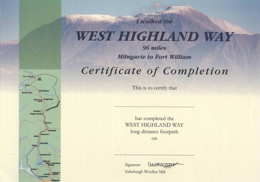
You've put the miles in, suffered the weather, been eaten by midges make sure you collect your certificate from The Ben Nevis Highland Centre (Woolen Mill), back at the original finish, it's free.